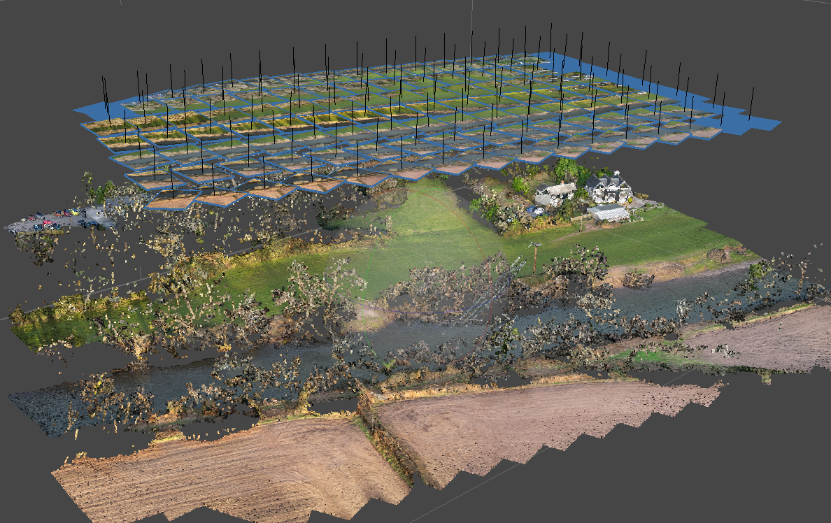
UAV Surveys
Using the latest technology to generate Highly Accurate digital Terrain models (DTM). All UAV surveys are rigorously controlled to ensure that they are as accurate as possible. We can also produce more traditional Topographic surveys using this technology if the conditions allow.