
Land and Engineering Surveying Services
With 15 years experience in the geospatial and engineering
profession serving some of the UK’s largest infrastructure and civil engineering projects, you can be sure that we have the expertise you require. Specialising in Earthworks, Machine control modelling, UAV Surveys and CAD Deliverables.
Although not limited to. Please contact us for a full list of our services and a tailored quote.
MSR Surveys
Our Key Services
Earthworks Surveying
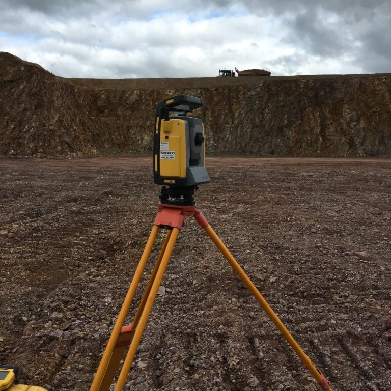
Our Earthworks/Topographical Surveying Services can accurately and efficiently capture all of the information required for further analysis.
Progress & As-Built Drawings
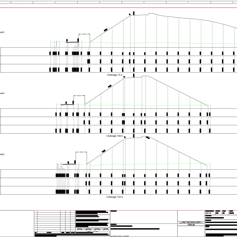
We can provide progress updates in the following formats:
- Remaining CUT/FILL Quantities
- Cross Section Drawings showing current Ground Level and Design
- Heatmaps from current GL to Design
We can also produce As-Built drawings showing deviation from design in any format required.
Machine Control Modelling
With our specialist Modelling packages we are able to work with all forms of design models from digital designs to PDF's. We are also able to convert into Machine control model formats for Trimble, Leica & Topcon
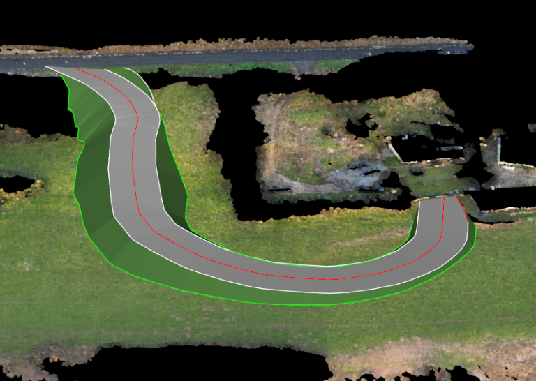
CUT/FILL
Analysis & Reporting
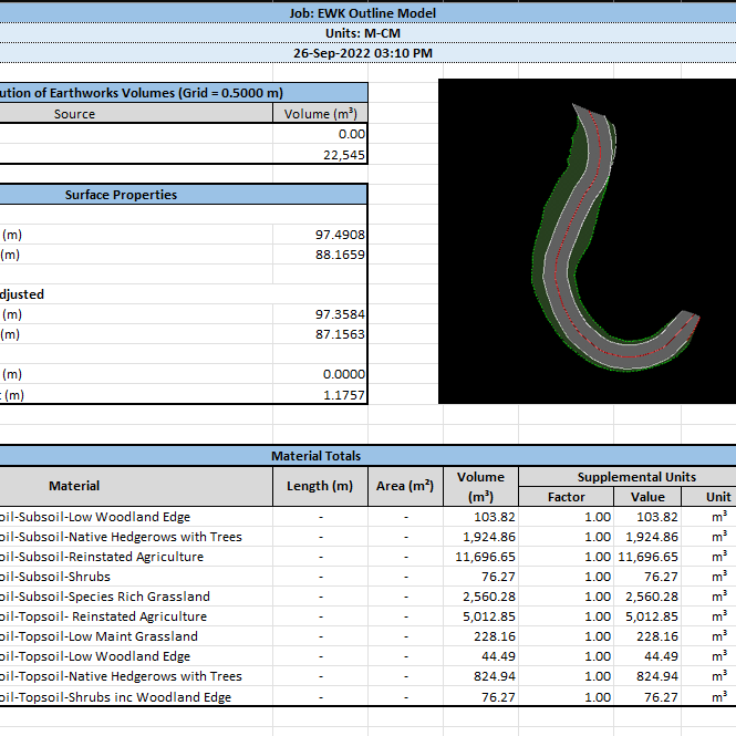
Once your site has been accurately surveyed, using either a provided topographic survey or one captured in house we can produce a full CUT/FILL Report